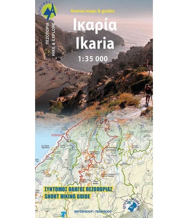
Ikaria Walking Map
This Ikaria map is ideal for walkers and hikers looking to explore the island of Ikaria. At a scale of 1:35,000 it shows a network of well-marked hiking trails, the complete road network and all the beaches on the island of Ikaria.
The island is perfect for walking and hiking as it has lots of vegetation, deep river valleys, and plenty of hidden water pools (refreshingly cold and clean). There is a ridge line crossing the majority of the island that climbs to 900 to 1,000m above seas level with a relatively flat plateau. From here there are amazing views and there are numerous great beaches to visit at the end of the walk.
On the reverse of the map there are 18 recommended hiking trails, including Efanos that is Ikaria’s highest peak at 1,043m.
Published in 2023 by Anavasi (map number 10.51), this Ikaria walking map is printed on waterproof and rip-proof polyart paper. The text and legend of this map is in English and Greek throughout.
Map Scale is 1:35,000
ISBN is 9789609412544
| ISBN is: | 9789609412544 |
|---|---|
| Free 2nd class UK postage | Yes |
| Scale Is: | 1:35,000 |
- Ikaria Bouldering Guidebook£21.95


